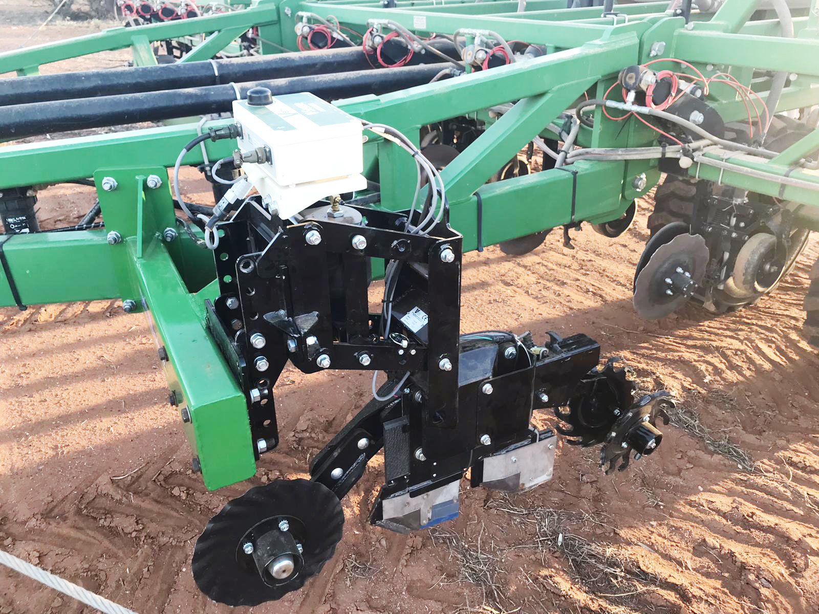
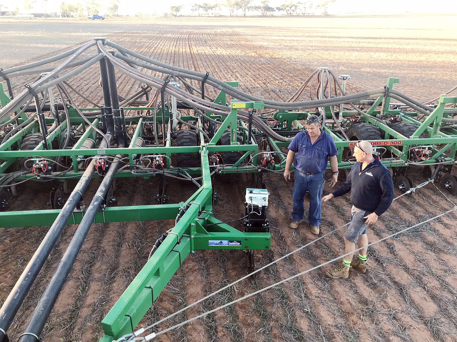
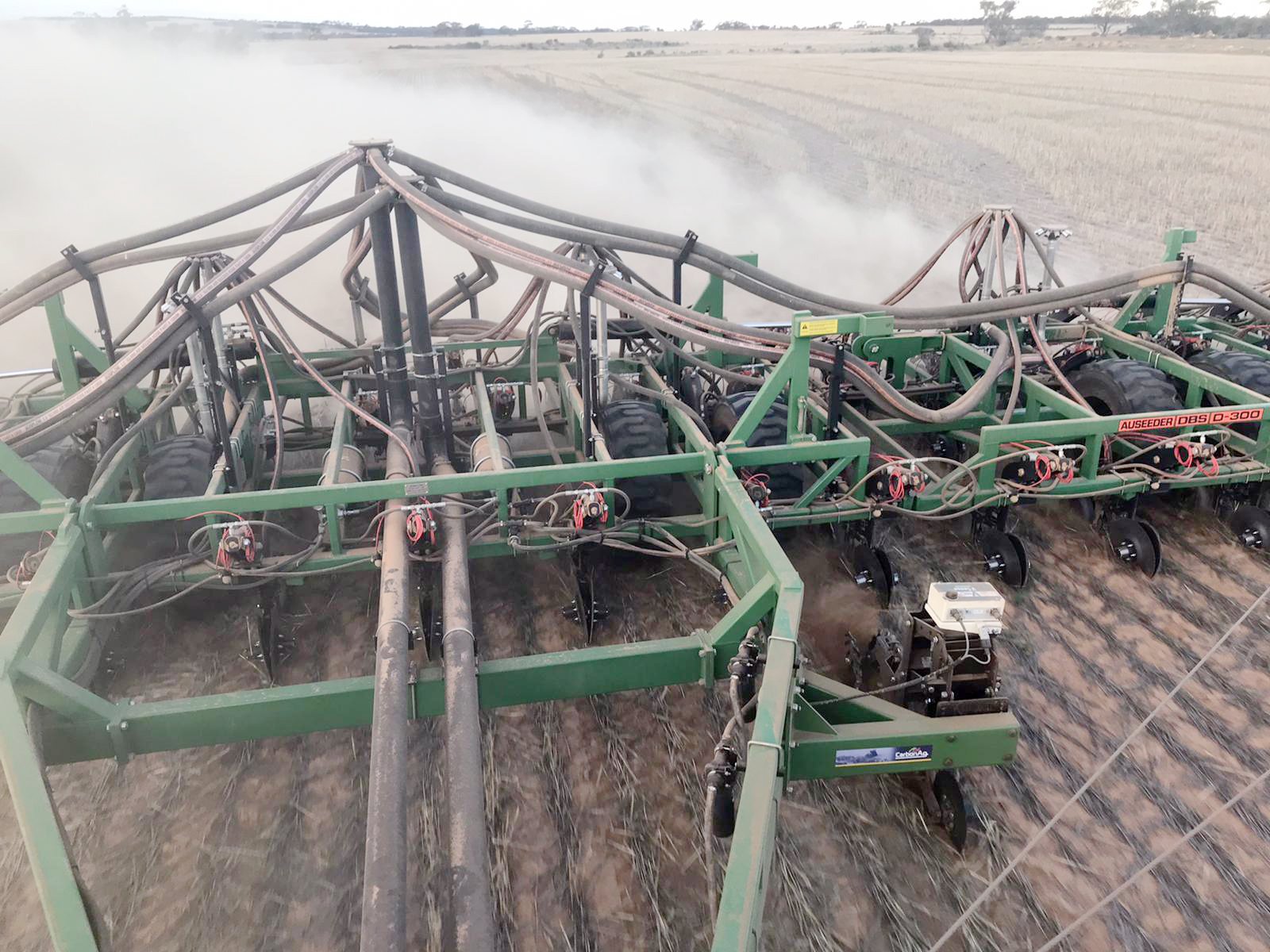
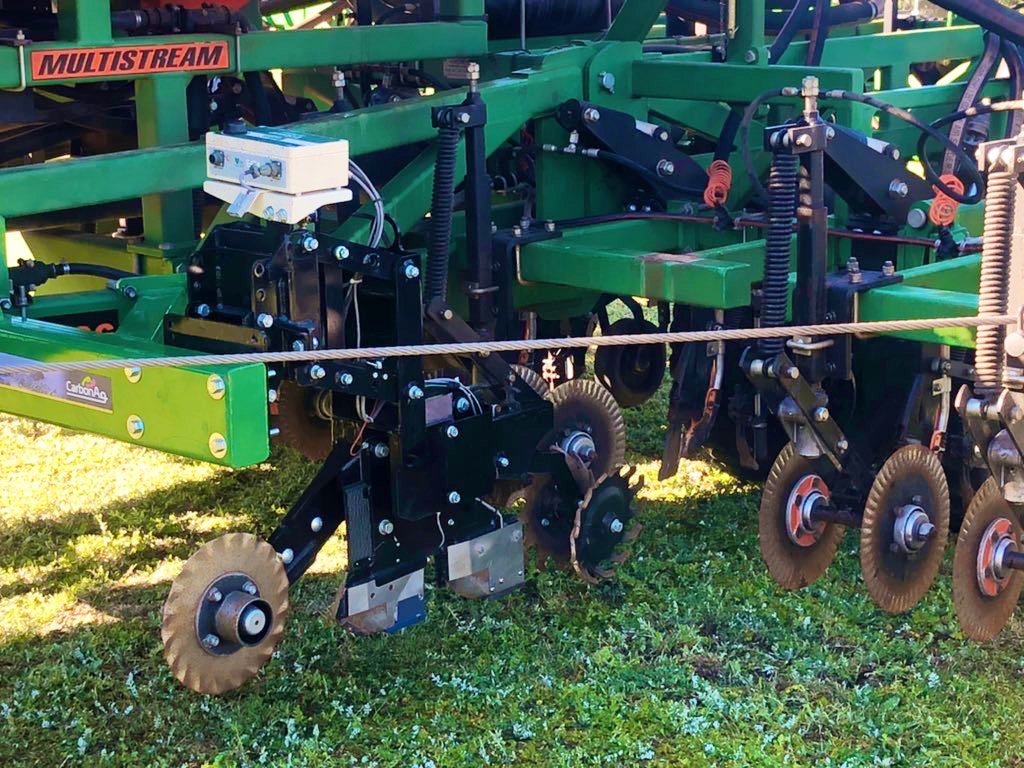
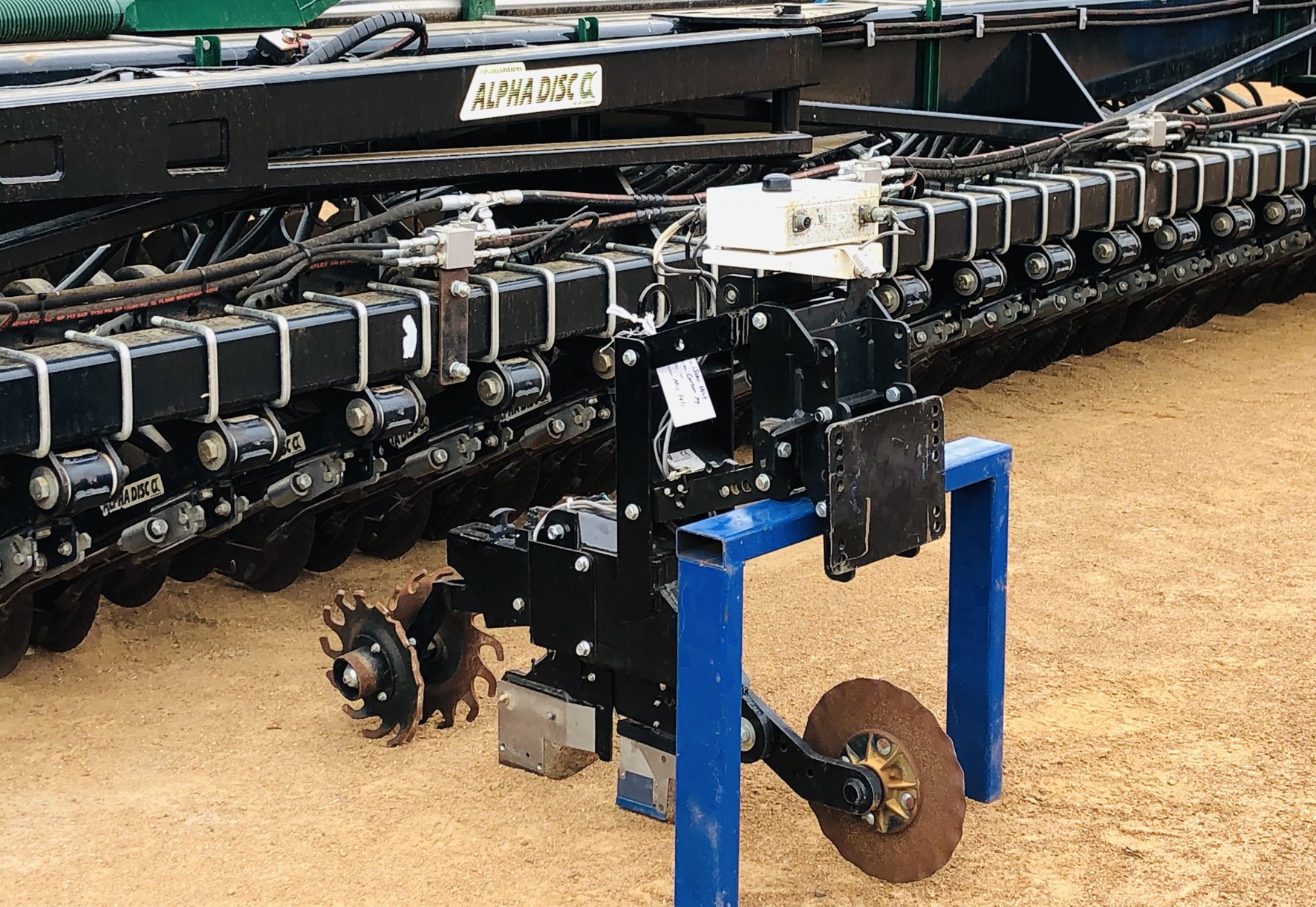
The iScan deep soil mapping module is mounted on seeding bars and air carts.
The iScan collects soil samples to a depth of 10cm at selected 25m intervals and performs on-the-go soil pH testing.
Measurements also are collected for electrical conductivity (EC), soil organic carbon, moisture and temperature.
Growers can choose to retain a number of soil samples across paddocks for full analysis at a laboratory.
We can then retain half of each sample in our “soil bank’’ as a physical record for farm properties in case of any future environmental regulations. We send the other half of each sample to a laboratory to confirm an Emissions Reduction Fund (ERF) accredited soil carbon measurement.
We produce a range of paddock maps for growers from the data, including for soil pH, EC, carbon and the range of other elements growers can choose to have comprehensively tested, such as nitrogen.
These maps can then be used to identify locations for in-ground installation of the soil scanning probes, which provide ongoing, real-time measurement monitoring to a depth of 30cm throughout seasons.
The unique dataset and paddock maps, which can be combined with other layers of information and management, allow better optimised variable product applications and improved return on investment modelling.


